


The tiny village of Latchley sits on the north-facing slope of a buff around which the Tamar traces one of its many meanders between Lifton and the estuary. There was no one around as we passed through early on an April Sunday morning.
The village footprint has barely changed since the 1884 OS Map (Cornwall XXIII.16, surveyed 1883). The sense of place more so. The Wesleyan Chapel and School long since turned into homes. The small church now a B&B. No shop, no pub. No community spaces.
Back in 1884 industrial decline was raw and recent and is called out by the Ordnance Survey cartographers. Within half a mile of the village centre the hillside is littered with copperplate italics;
New Devon Consols Mine (Copper, Disused)
Duchy Great Consols Mine (Copper, Disused)
West Devon Consols Mine (Copper, Disused)
Wheal Williams (Copper, Disused).
Time deadens the impact of change, on the current map these markings have all but disappeared, with only one anonymous Mine (dis) picked out.
We catch an enticing glimpse of a longer view as we leave the village, hugging a contour as we walk towards Greenscoombe Woods. In one glanced moment this place is framed comprehensively in its context.
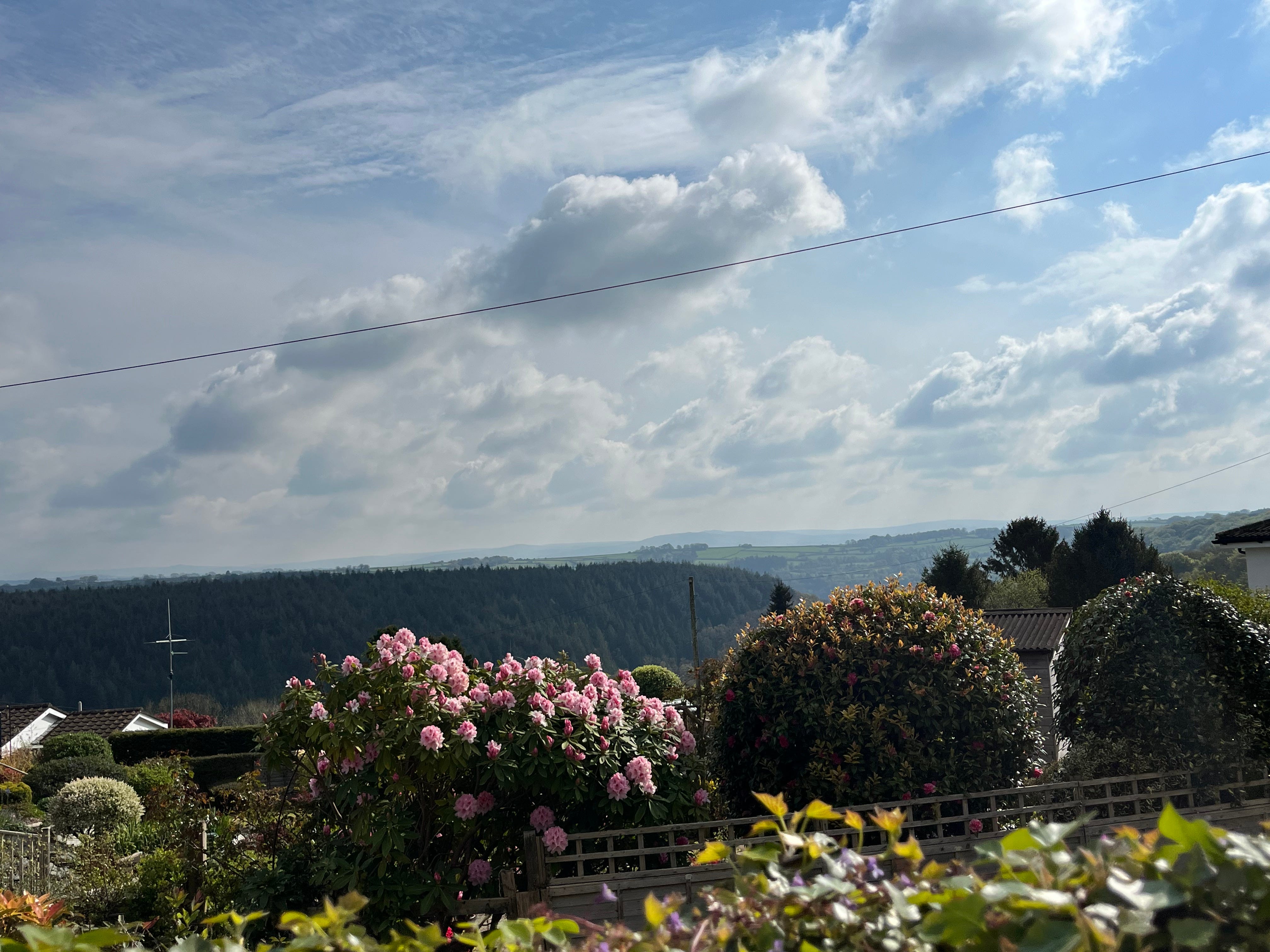
I gaze beyond the clipped bauble garden shrubs and over the couple of post-war bungalows bordering this side of the village, shallow brown-tiled roofs atop creamy coarse pebbledash.
First comes a dark layer of managed coniferous plantation.
Interleaved behind are rolling fields. Fresh grassy shapes marked out by darker green hedgerows.
And finally, barely there before the pale blue sky takes over, the rugged horizon of Dartmoor.
I love the snapshot of these different landscapes, coming together to tell the story of the earth beneath and the chapters of human activity. The variety of landscapes we encounter along the Tamara Way is one of the route’s attractions, unfolding the tale of the river and the world around her.